New Toolbox Behavior and other Updates
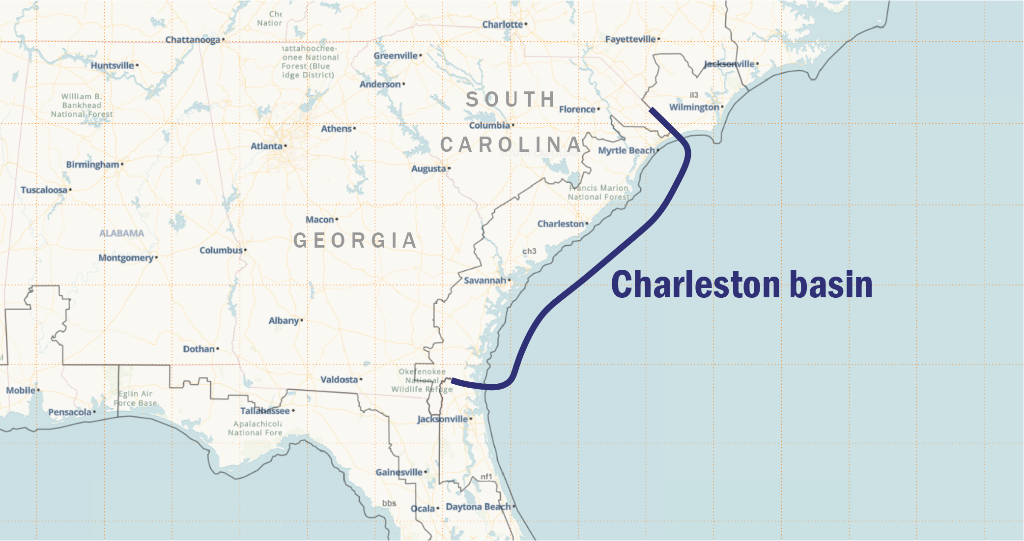
HURREVAC now highlights active selections in the Toolbox, which is located in the lower left corner of the workspace. For example, this behavior indicates whenever the Tropical Weather Outlook is turned on by default when the program loads. Other tools like Text Advisories, Evacuation Timing and Training are also highlighted when clicked and their respective windows are open. Tools that open from the right side panel – Reports, Storm Surge (SLOSH) Explorer, and Storm Simulator – are also highlighted in the same way when you click on them. The right side panel now has a slightly different look, which removes the tabs at the top and only shows one tool at a time. It is still possible to switch between these three panel-based features using the toolbox. Other recent program changes Tropical Weather Outlook: storm icons are shown for all systems except the one that is actively selected (the ‘working’ storm). The TWO is beneficial for situational awareness, but we also recommend turning off the TWO layer when focused on tracking a particular storm unless you want to show its track in relation to other areas of potential development. Wind watches and warnings: improved caching now lets new information populate on the map without needing to restart the browser. This layer is often published shortly after the other advisory text products, so there can be a period of a few to several minutes where the HURREVAC map does not yet show a wind watch/warning line to match the text. Deterministic winds for JTWC areas of responsibility: added an exception to the recent program changes to show the 64kt (typhoon or cyclone) winds on the map throughout the 5 day period when applicable, as that threshold is explicitly forecast in JTWC advisories. The deterministic wind timing report still limits specific results for the 64-kt threshold to 3 days in all areas. Note to users in South Carolina: the state’s latest Hurricane Evacuation Study (HES) data has been implemented in the program during recent weeks and months. This includes new Evacuation Zones and clearance times in the Evacuation Timing window. New HES documents for the Resources tab are coming soon.